| |
|
|
|

|
|
|
|
|
|
Urban Dataset from the University of Tokyo
Background
Global urban area maps are essential for investigating urban expansion and the influence of urban areas on the biosphere, for assessing urban area vulnerability to natural hazards, and for illuminating on the connection between settlement characteristics and human health and well-being. However, the main obstacles in validating such maps is the scarcity of ground truth data for urban areas.
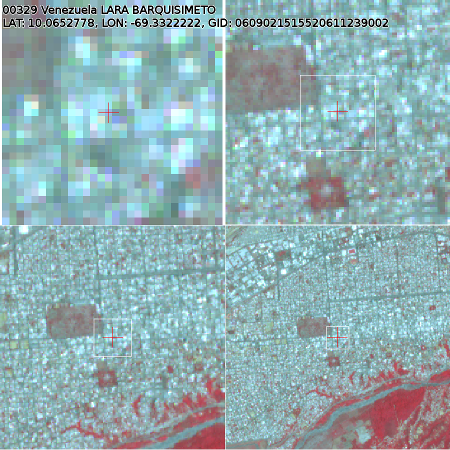
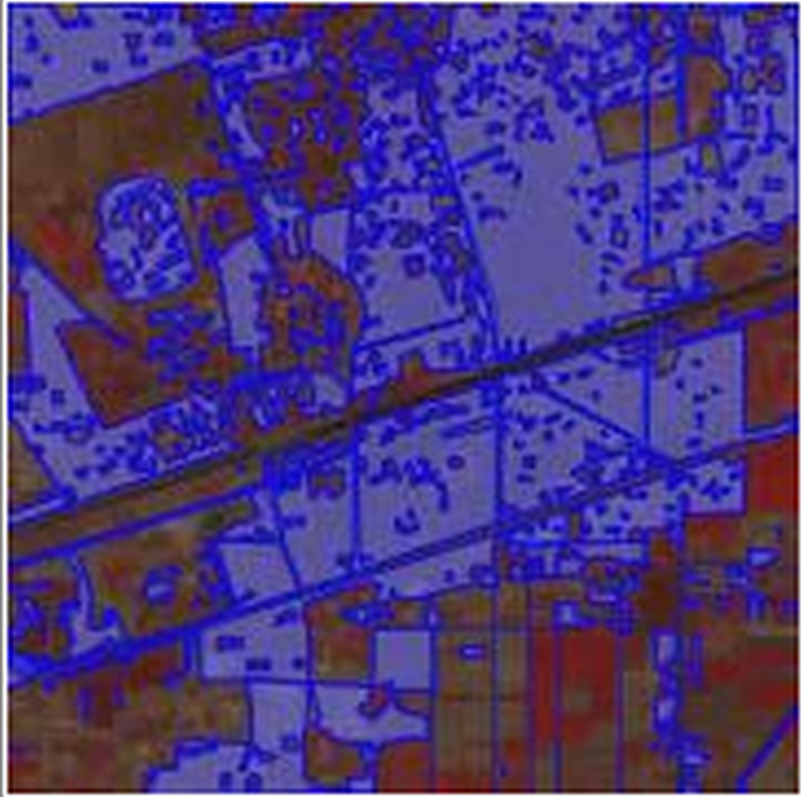
To complement scarcity of ground truth data for urban areas, we developed ground truth databases specialized for urban areas. The databases were developed in two methods: (i) visual interpretation of urban/non-urban at point coordinates derived from GRUMP Settlement Points (http://sedac.ciesin.columbia.edu/data/set/grump-v1-settlement-points) and (ii) visual interpretation of boundaries of urban/non-urban areas by a crowdsourcing WebGIS. The ground truth databases were developed by using ASTER/VNIR false color composite images acquired between 2000 and 2008 provided by National Institute of Advanced Industrial Science and Technology of Japan.
References:
Miyazaki, H.; Iwao, K.; Shibasaki, R. Development of a New Ground Truth Database for Global Urban Area Mapping from a Gazetteer. Remote Sensing 2011, 3, 1177-1187. Available online at http://www.mdpi.com/2072-4292/3/6/1177
Kimijima, S.; Nagai, M.; Miyazaki, H.; Shibasaki, R.; Iwao, K. Crowdsourcing for urban area mapping. In Asia Geospatial Digest, 2013. Available online at a http://geospatialworld.net/Paper/Application/ArticleView.aspx?aid=30462
Access to the data
Point-based data developed from GRUMP Settelment Points:
Please contact the author, Hiroyuki Miyazaki, from the University of Tokyo.
Crowdsourced polygon data:
1. Create an account on the website of Data Integration & Analysis System (DIAS)
https://dias-dss.tkl.iis.u-tokyo.ac.jp/cas/login).
2. Then login to the website of DIAS.
3. Visit the dataset page (http://dias-dss.tkl.iis.u-tokyo.ac.jp/dl/storages/filelist/dataset:207) to download the data files.
Sample of the Urban dataset
|
Copyright © by FSU Jena/GOFC-GOLD PO 2005-2011 | by CGI Wageningen UR/GOFC-GOLD LC PO 2012-2015
|
|
|
|